

Walking for pleasure, popularly known as hiking, is an outdoors activity in which our area, Corinthia, excels. It is not just the accessibility of the trails that make Corinthia an excellent hiking destination, but also the variety in views and landscapes that can be enjoyed from its long shoreline and numerous mountains, even when walking relatively short trails; the historical monuments that can be visited along the way; and the gastronomy that can be tasted at the end of the journey.
In this page we present some of the trails that we ourselves have walked and photographed for you. Most of these reconnaissance trips have been done in the context of the project “Hiking Corinthia” and in cooperation with the boutique travel company “Greekly“. For more information about these trails, as well as to organise a local guide to take you to them, contact us.
Starting point: The fountain on the road to Korfiotissa monastery at Kamari village
Distance: 10 km (round trip)
Cumulative elevation gain: 670 m
Highlight: The amazing views of the all the Gulf of Corinthian gulf
Tip: Enjoy a homemade Greek coffee prepared for you by the monastery’s nuns at the monastery’s veranda
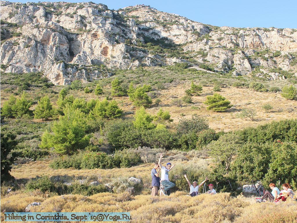
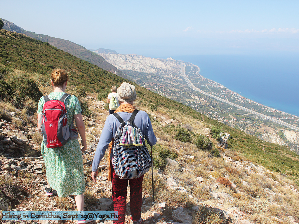
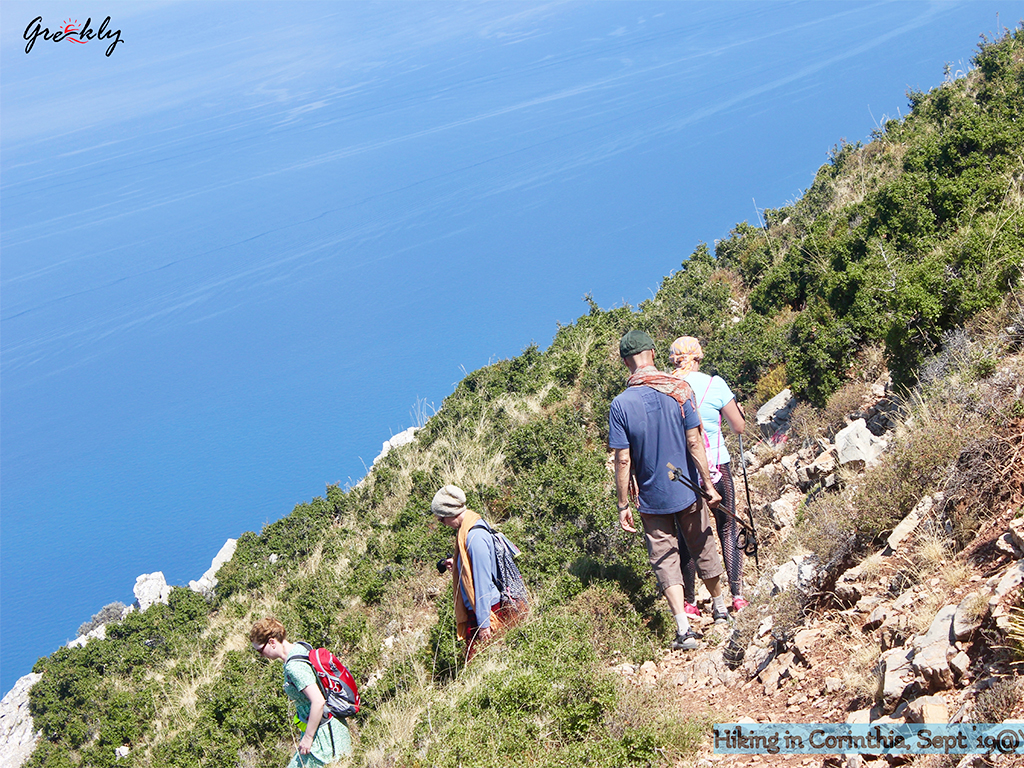
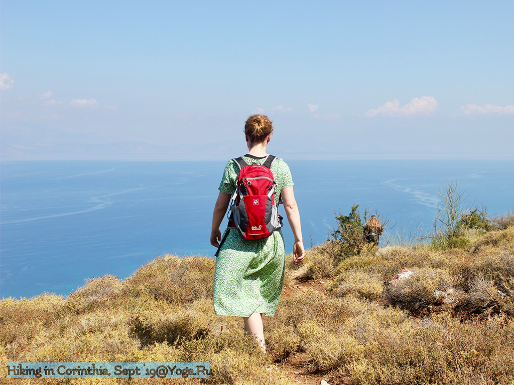
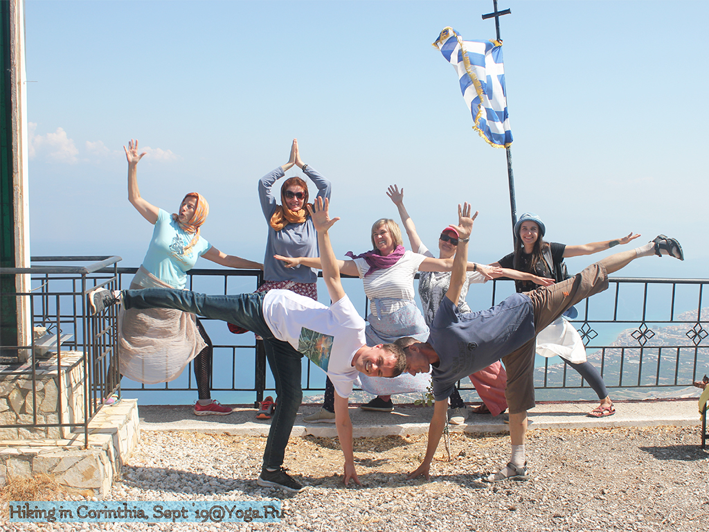
Starting point: The fountain on the road from Kiato to Stymfalia
Distance: 10 km
Cumulative elevation gain: 312 m
Highlight: The amazing views of the vineyards and the Gulf of Corinth behind them!
Tip: Collect edibles, according to the season (mushrooms, grapes, nuts)!
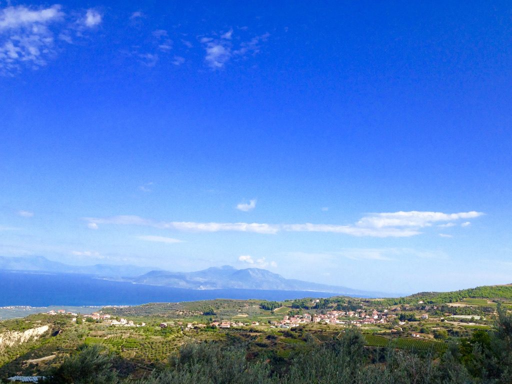
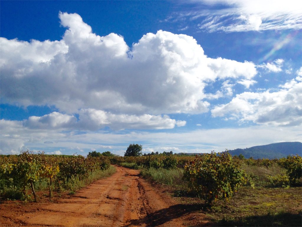
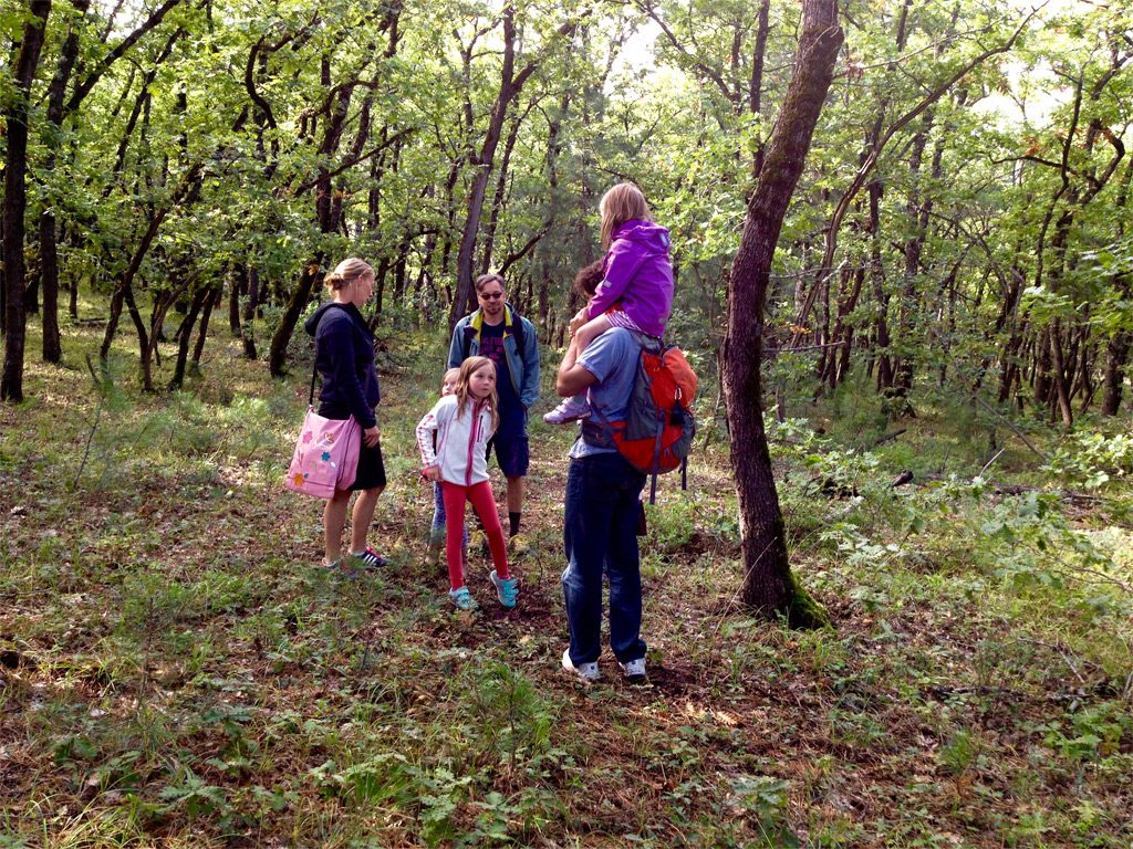
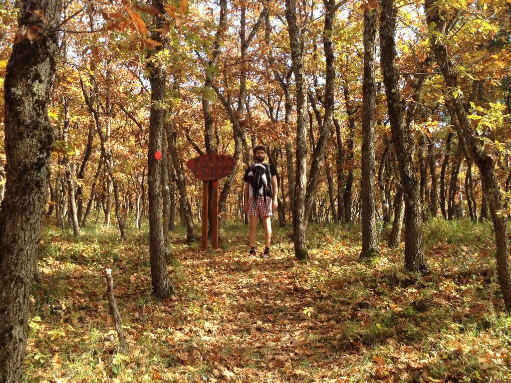
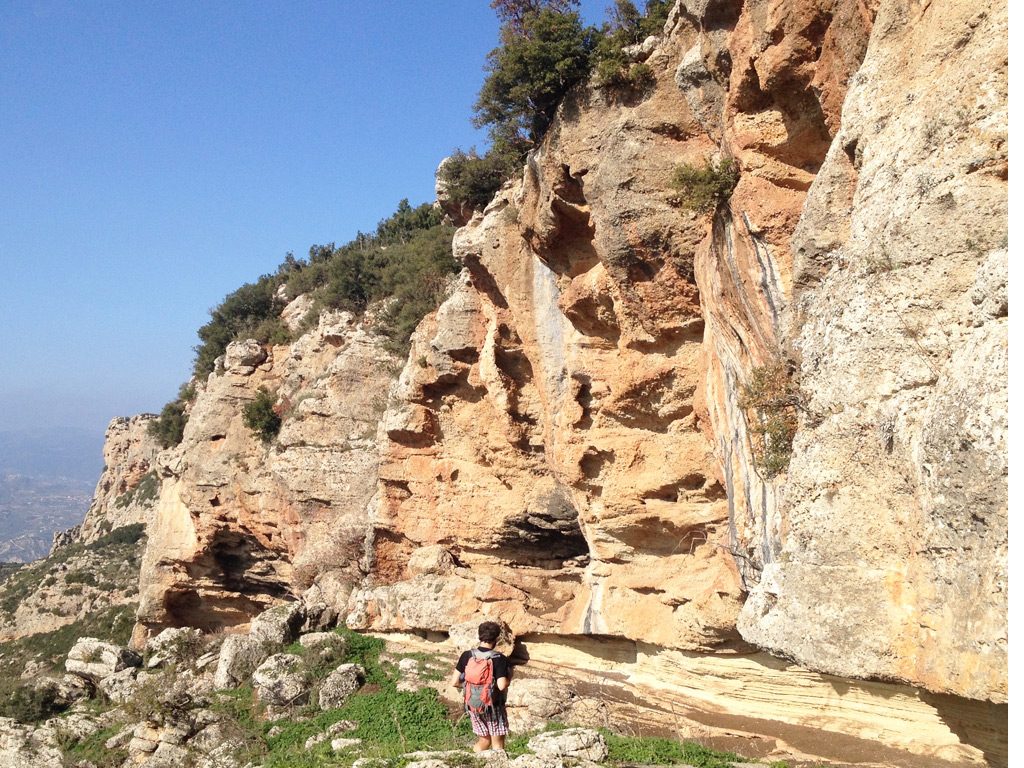
Starting point: Village of Chalki
Distance: 7 km
Cumulative elevation gain: 506 km
Highlight: The view of the valley of Nemea, with its bed of vineyards!
Tip: A meal at the taverna “Spilios” in the village of Chalki
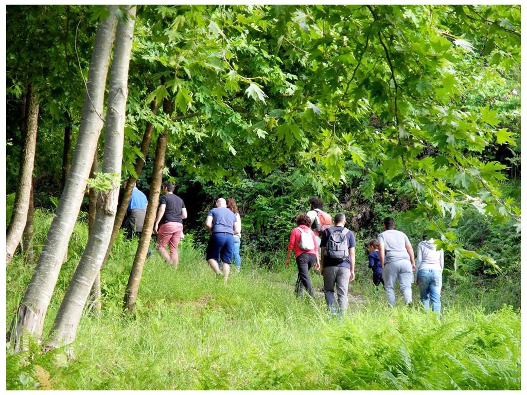
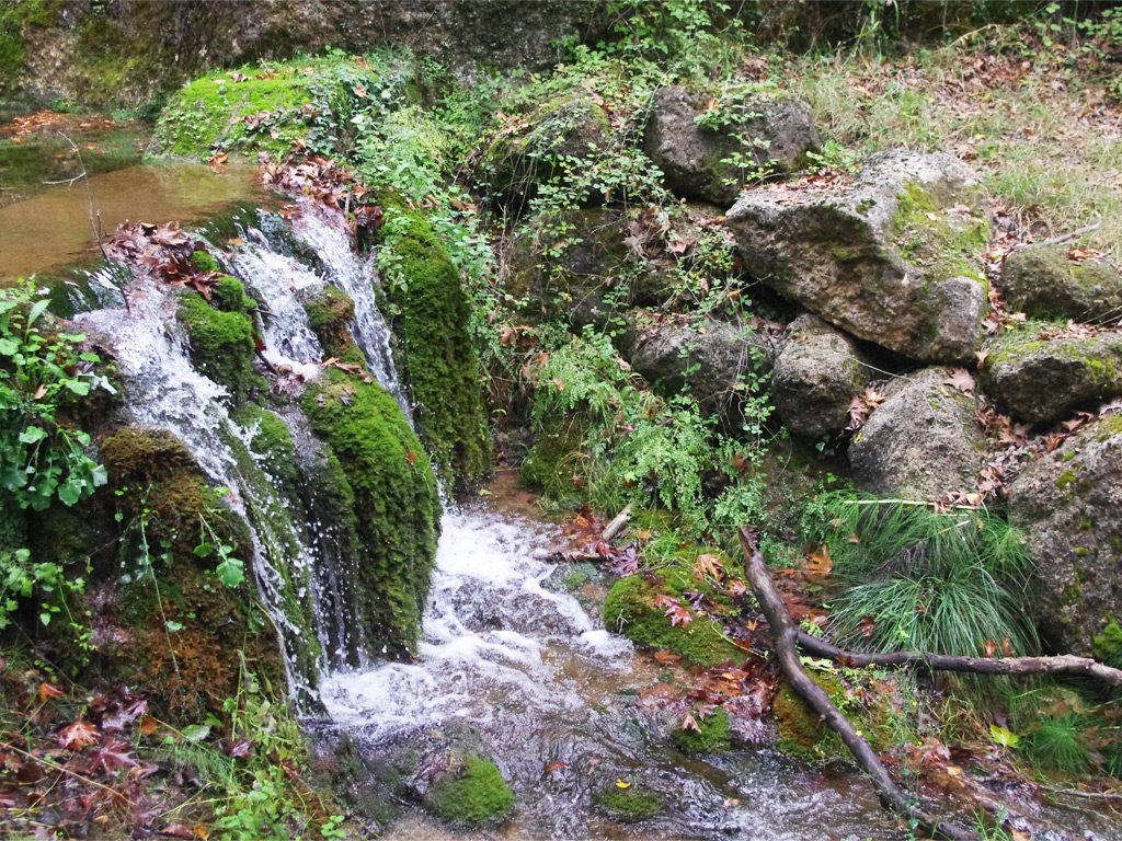
Photo credits: Olga Papalexandrou
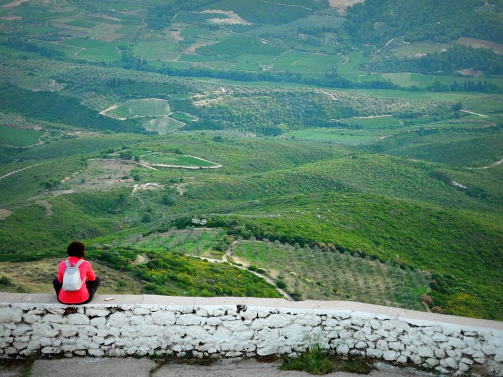
Photo credits: Olga Papalexandrou
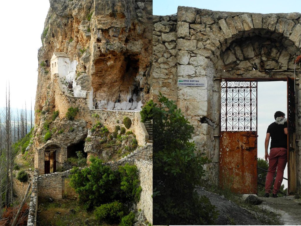
Photo credits: Olga Papalexandrou
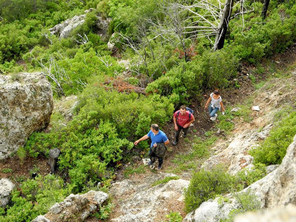
Photo credits: Olga Papalexandrou
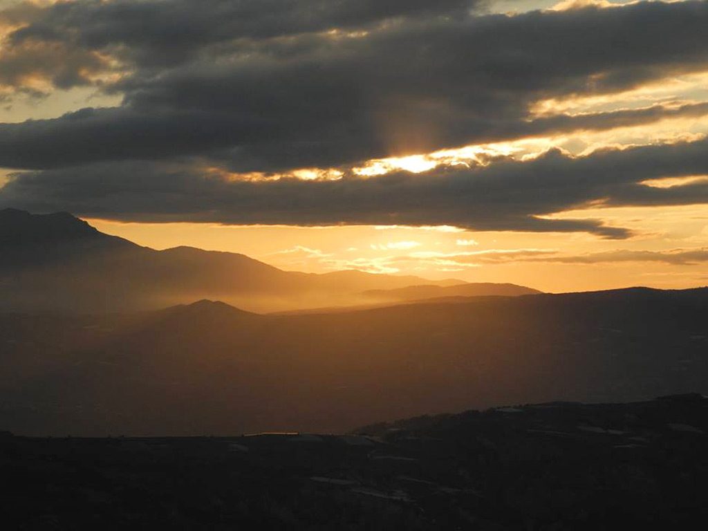
Photo credits: Olga Papalexandrou
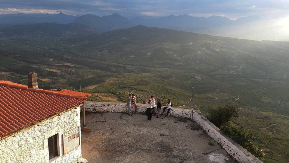
Photo credits: Olga Papalexandrou
Starting point: Road to Solomos
Distance: 11 km
Cumulative elevation gain: 819m
Highlight: The amazing view of the Gulf of Corinth and the Saronic Gulf!
Tip: Combine with a visit to the archaeological site of Ancient Corinth
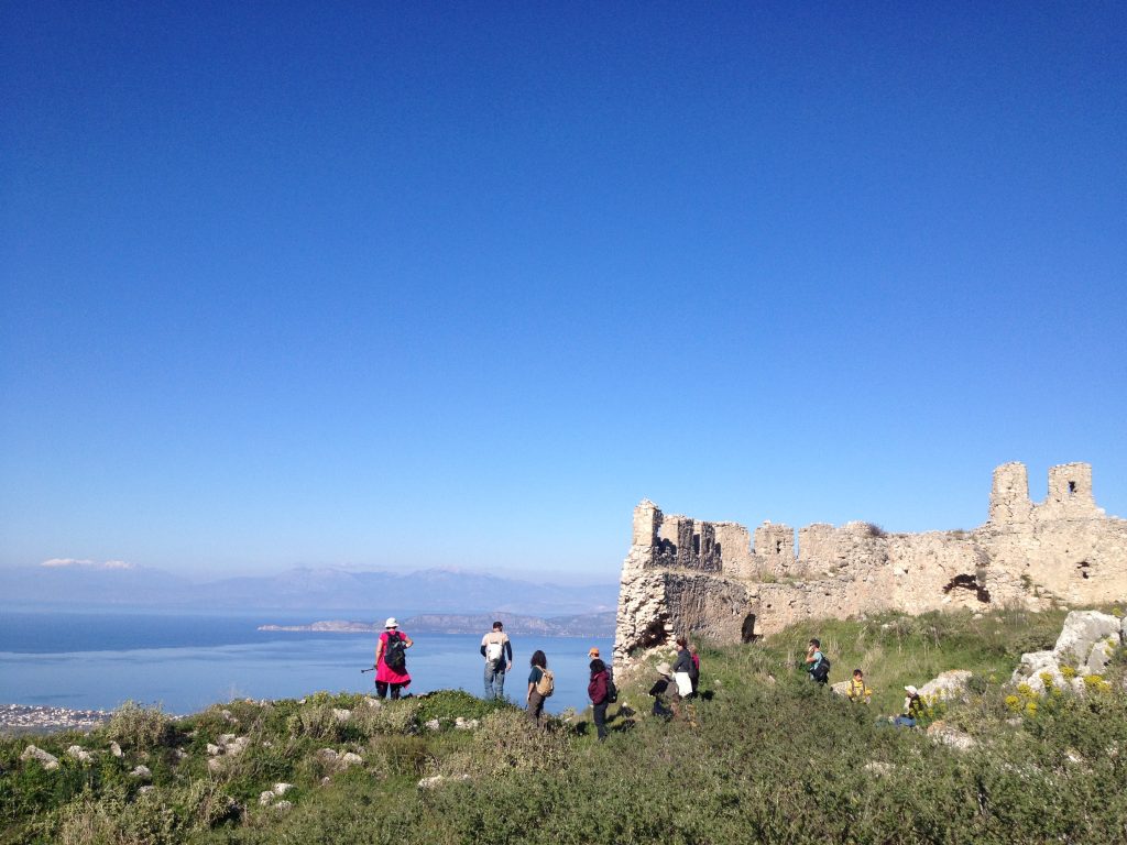
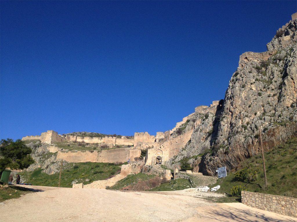
Starting point: Fortress of Akrocorinth
Distance: 3 km
Cumulative elevation gain: 117 m
Highlight: The breath-taking view of the fortress of Acrocorinth!
Tip: Combine with a meal at the seaside taverna “Faros” in Lechaio
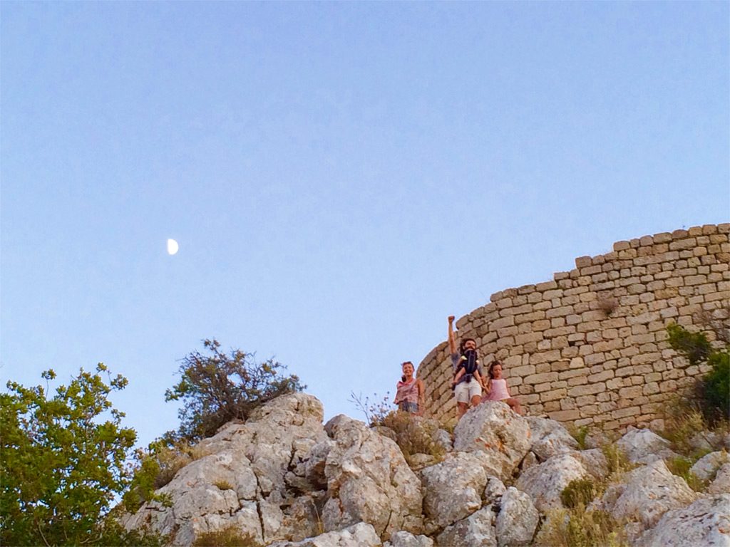
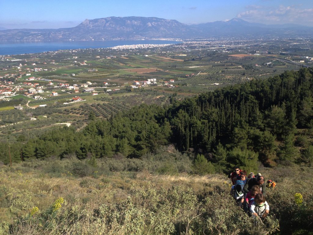
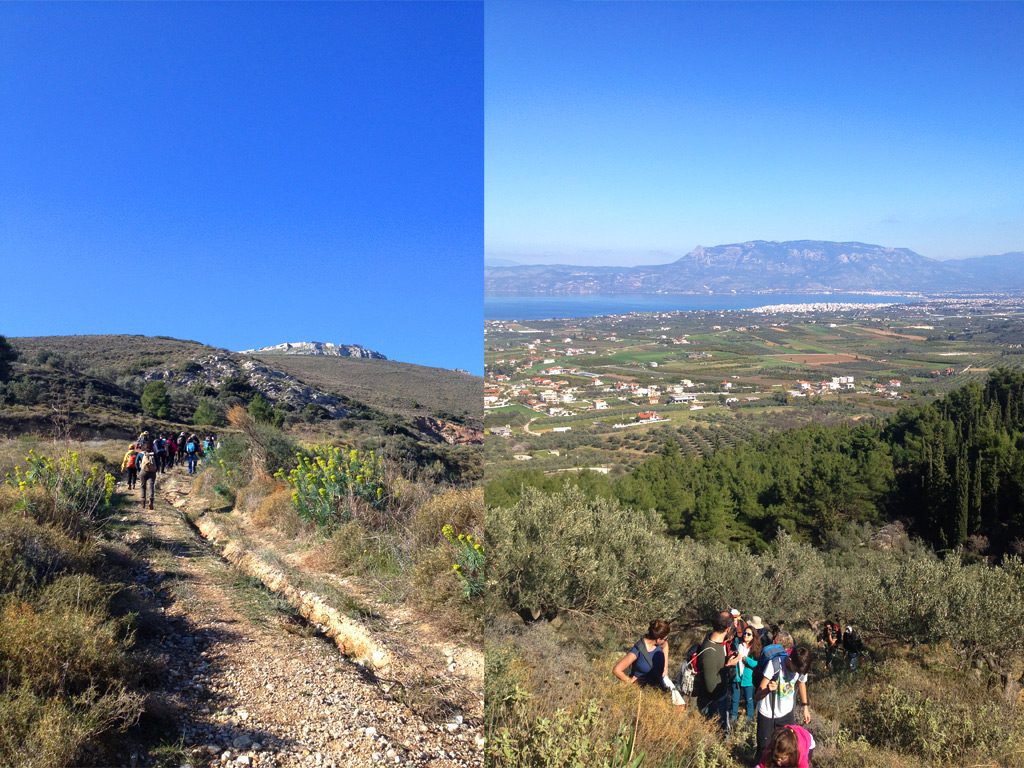
Conquering Pentesfkoufi!
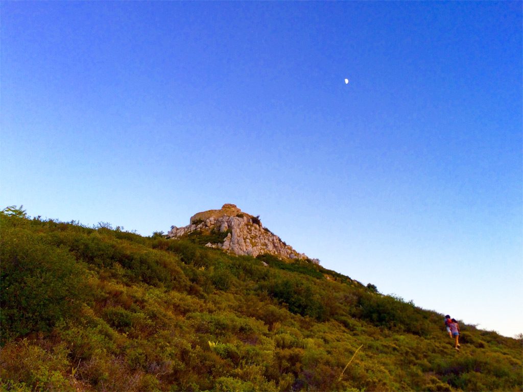
Climbing up towards the small fortress of Pentesfoufi.
Starting point: Sports centre Ziria
Distance: 9 km
Cumulative elevation gain: 117 km
Highlight: The feeling of being hidden in a secret place between the two big peaks of mount Kyllene!
Tip: Combine with a meal in one of the tavernas of the Trikala villages
Available Application for Mount Ziria: Ziria Toppoguide
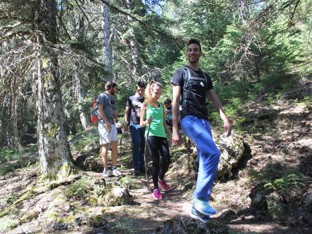
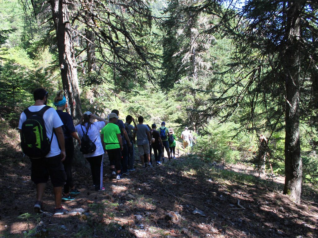
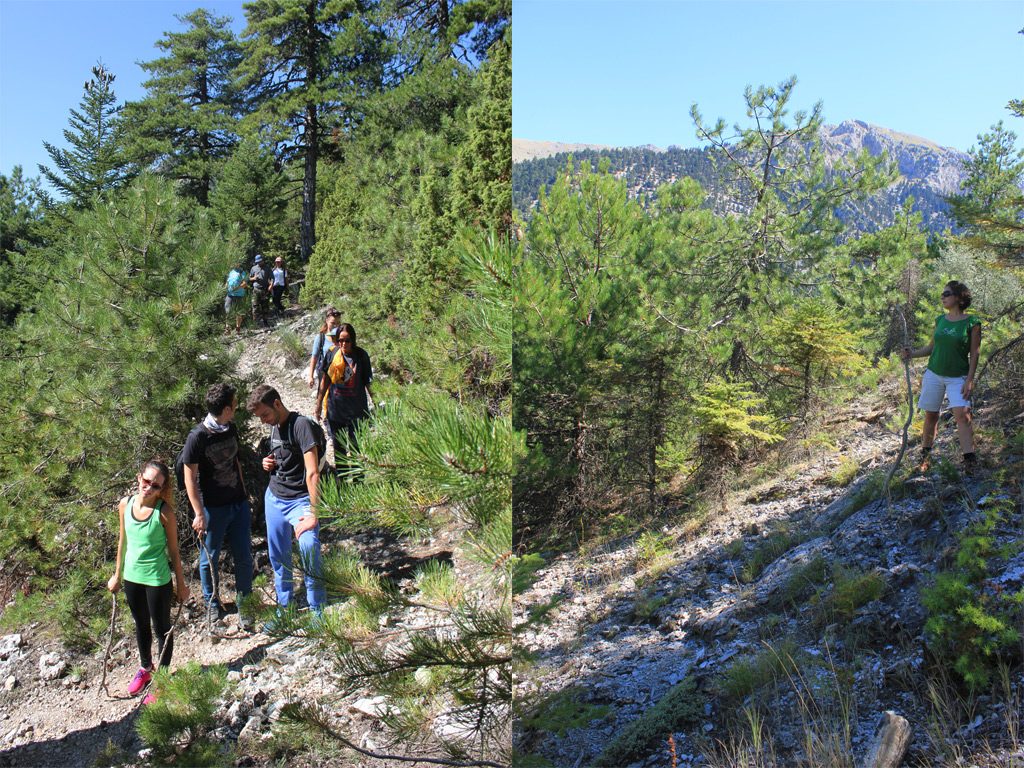
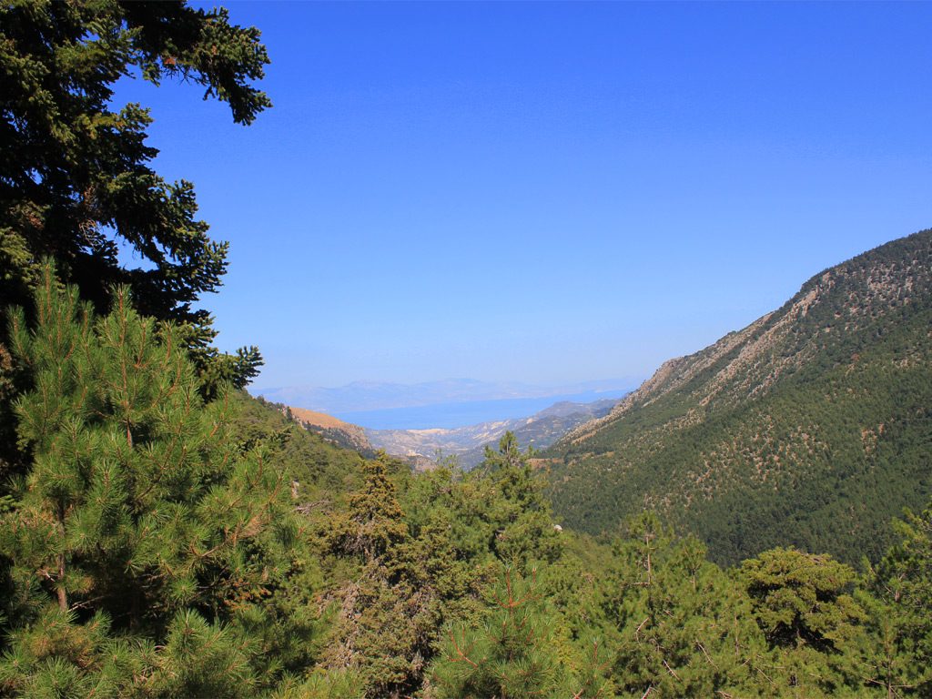
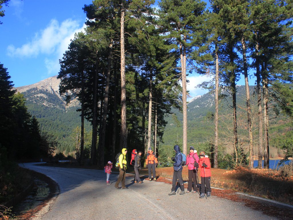
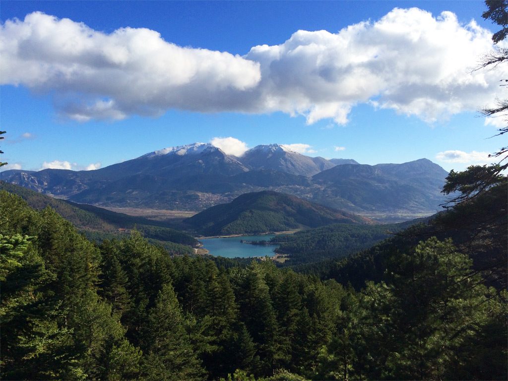
Starting point: Lake Doxa
Distance: 14 km
Cumulative elevation gain: 1100 m
Highlight: The views of the peaks of Corinthia and Lake Doxa!
Tip: Enjoy local gastronomy created from local PDO products: Feneos “vanilla” beans and fava Feneou.
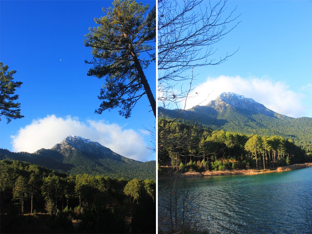
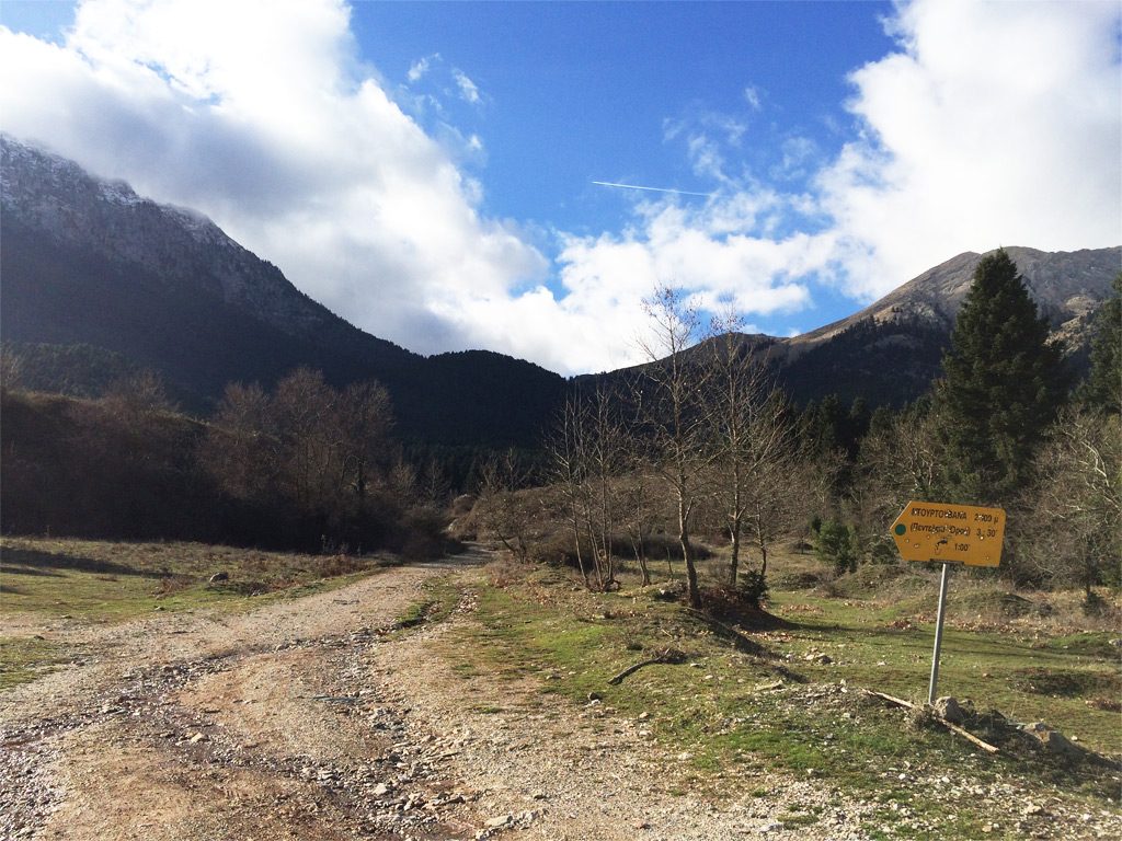
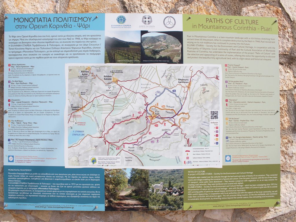
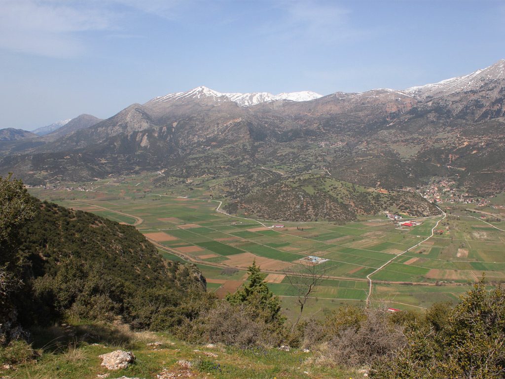
Starting point: Village of Psari
Distance: 10 km
Cumulative elevation gain: 400 m
Highlight: The feeling that you are flying on top of the valleys of Stymphalia and Feneos and that you are gliding among the peaks of the mountains of Corinthia!
Tip: Combine with a visit to the Environmental Museum of Stymphalia
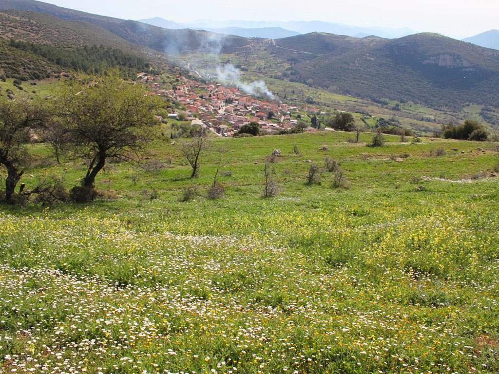
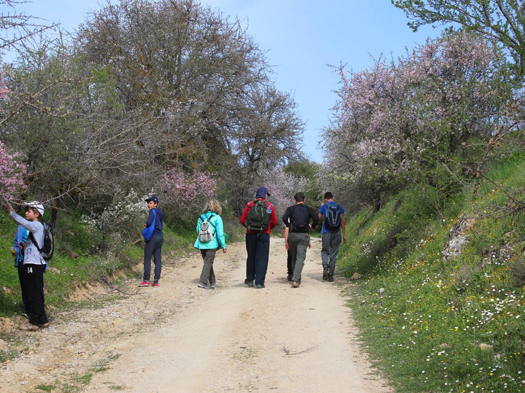
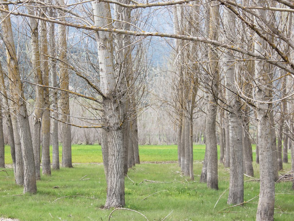
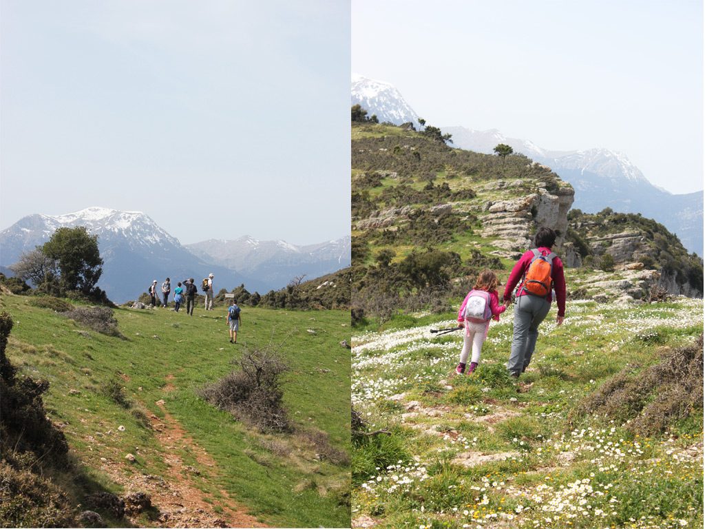
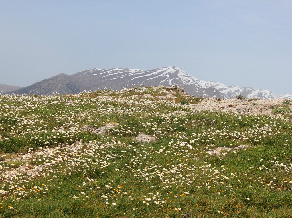
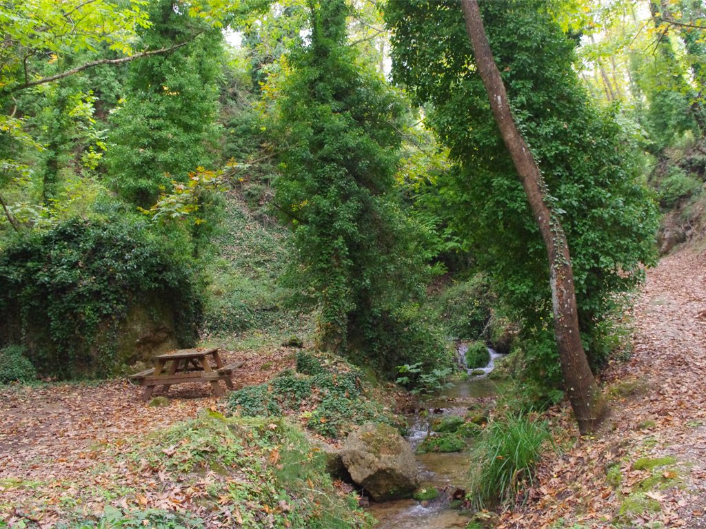
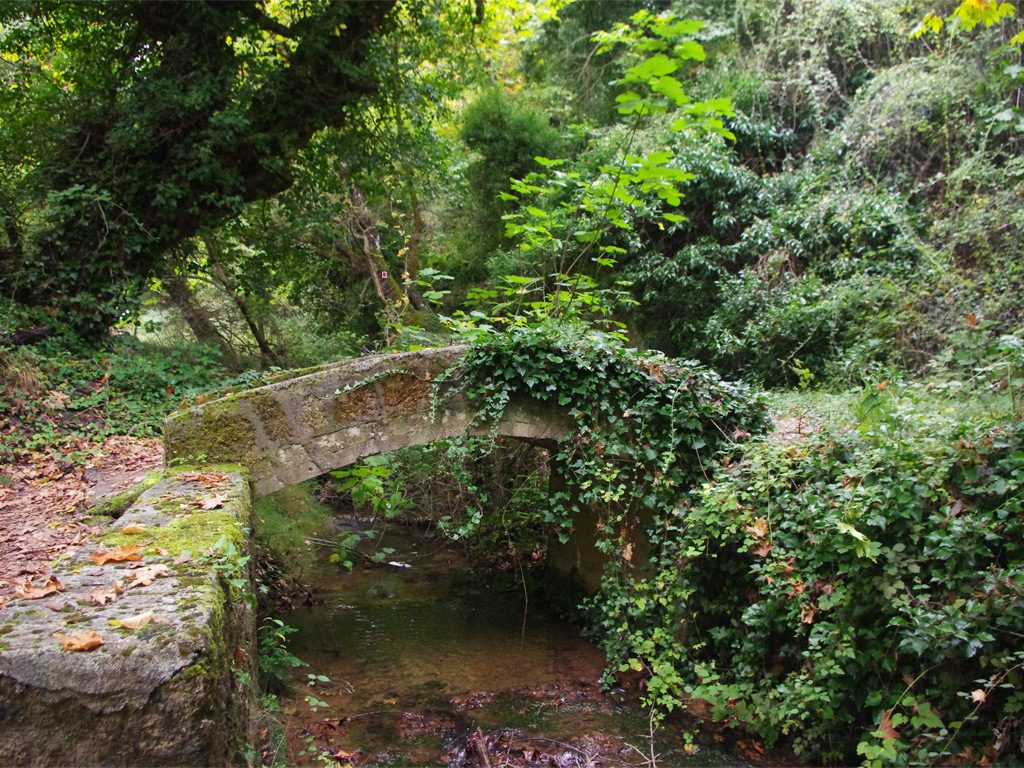
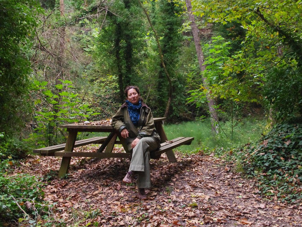
Starting point: Village of Evrostini
Distance: 3 km
Cumulative elevation gain: 200 m
Highlight: The abundant green everywhere and the little pond with ducks at the beginning of the trail!
Tip: Combine with a visit to the monastery ton Katafigion
By continuing to use the site, you agree to the use of cookies. more information
The cookie settings on this website are set to "allow cookies" to give you the best browsing experience possible. If you continue to use this website without changing your cookie settings or you click "Accept" below then you are consenting to this. See our Terms of Use and Privacy Policy by clicking here.
First Party Essential Cookies Used:
First party cookies are cookies that are set by the site itself and can only be read by this site. They are commonly used for the functionality of a website.
| # | Key | Domain | Time Stored | Goal |
|---|---|---|---|---|
| 1 | _gat | .daphnesclub.com | Per session | Stats and Analytics |
| 2 | _gid | .daphnesclub.com | Per session | Stats and Analytics |
| 3 | _ga | .daphnesclub.com | For 2 years | Stats and Analytics |
| 4 | _icl_current_language | daphnesclub.com | Per Session | Browsing Language |
Third Party Cookies Used:
Third party cookies are set by third parties which can be tracking or marketing companies (e.g. advertising networks). These cookies get re-read during a visit on other sites if they do business with these companies as well.
| # | Key | Domain | Time Stored | Goal |
|---|---|---|---|---|
| 1 | CURRENCY | .daphnesclub.reserve-online.net | Per session | Browsing Currency |
| 2 | LOCALE | ..daphnesclub.reserve-online.net | 3 days | Stats and Analytics |
| 3 | REFERER | .daphnesclub.reserve-online.net | 3 days | Stats and Analytics |
| 4 | SOURCE_ID | .daphnesclub.reserve-online.net | Per session | Stats and Analytics |
| 5 | WH | .daphnesclub.reserve-online.net | 3 days | Browsing Language |